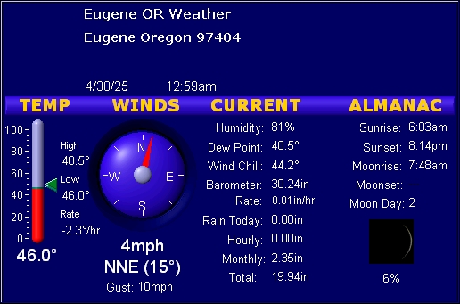
North Eugene Weather Conditions 97404 (A
NWS/NOAA, MADIS,APRS,
weather station)
station id AR232, KC7RJK-2
Local Geophone -Beta-
Detailed sensor history data
ShakeNet
-Dec 2016-A
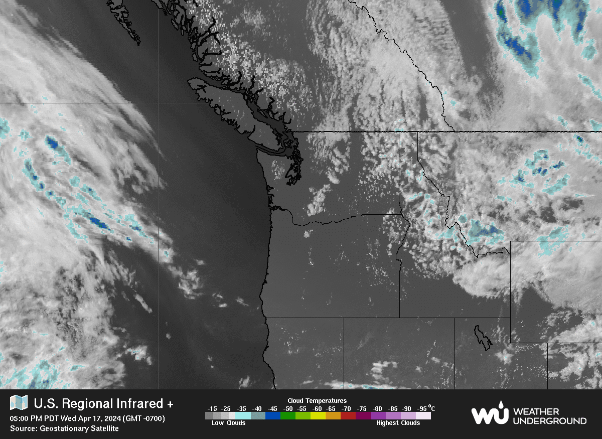
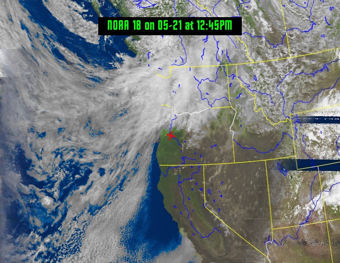
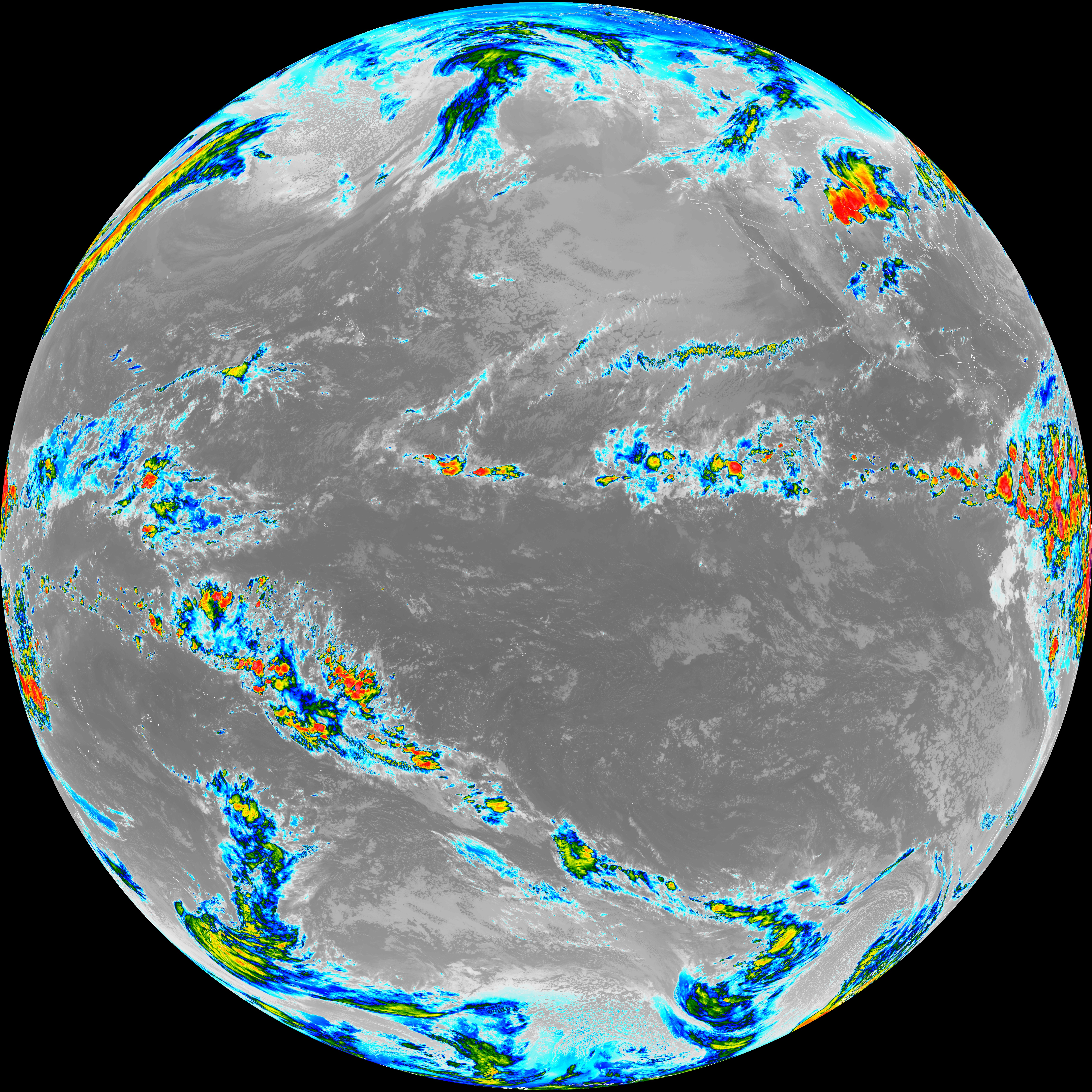
137 MHz NOAA APT satellite downlink was installed at the station site.
The audio is processed by computer andWXTOIMGsoftware
to create the images seen above. Unfortunately this is old analog
technology and many of the satellites have failed over time and NOAA has
no interest in repairing/replacing only decommissioning these analog
satellites.That�s why there can be long periods with no satellite passes
to update the image. But with simple equipment these images can still be
decoded. More info aboutNOAA
APTsatellites.
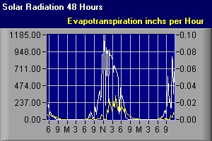
-Mar 2013- A
new
Solar Radiation sensor has been added to the station. Very useful in
agriculture to calculate soil moisture evaporation. (Evapotransportation
is a function of Solar, Wind, and Temp) Also useful in the generation
and calculation of potential solar energy.
-Apr 2011-
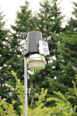
Again I've moved the temp/hum sensor to a new
location for more accurate data. I would like to thank my neighbor for siting
them on his property of 3 acres. The field is mostly grass and garden, a perfect
environment for the sensor suite. The fan aspirated radiation shield is solar
powered to operate through the daylight hours.
-Mar 2010-
The All of the sensors have been re-sited on
the property to give you the most accurate data possible. More
information on my weather
HOME page.
-Feb 2009-
The old communications tower structure has
moved and grown to 85 feet. The
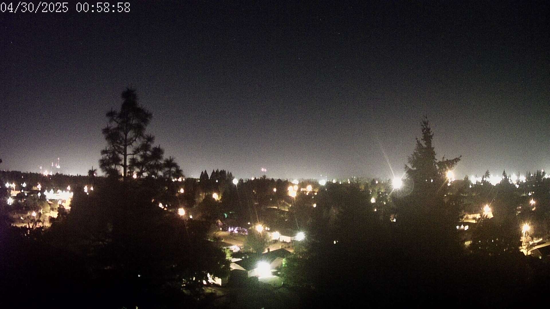
anemometer is now mounted above the tree line relaying accurate wind
information. Also the webcam is now mounted at 95 feet with a clear 360
degree view. I plan to upgrade
the image resolution of the webcam soon.
-WX Radio-
This audio is streamed from RF receivers to my weather server using
EdCast then to the
Weather
Underground WX radio network.
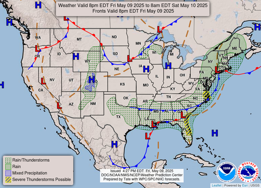
WARNING... An advisory has been issued for Lane County...
Heat Advisory issued July 12 at 2:02PM  until July 13 at 10:00PM   <,>
* WHAT...Temperatures 95 to 98 expected.

* WHERE...South Willamette Valley.

* WHEN...From 11 AM to 10 PM PDT Sunday.

* IMPACTS...Hot temperatures may cause heat illnesses.

* ADDITIONAL DETAILS...There is a 30-50% chance for high
temperatures of 100 degrees or hotter across the Willamette Valley
on Wednesday.
Forecast
Station Forecast (Generated by this weather station)
Increasing clouds with little temperature change. Precip possible within 24 to 48 hrs
NWS 7 Day Forecast
_________________________________________________________________

[52]Heat Advisory

OVERNIGHT:
Clear, with a low around 62. North wind 5 to 7 mph.
SUNDAY:
Sunny, with a high near 97. North wind 5 to 14 mph, with gusts
as high as 24 mph.
SUNDAY NIGHT:
Clear, with a low around 62. Breezy, with a north wind 6
to 15 mph, with gusts as high as 25 mph.
MONDAY:
Sunny, with a high near 91. North wind 5 to 10 mph, with gusts
as high as 20 mph.
MONDAY NIGHT:
Clear, with a low around 55. North northwest wind 6 to 10
mph, with gusts as high as 20 mph.
TUESDAY:
Sunny, with a high near 92.
TUESDAY NIGHT:
Clear, with a low around 61.
WEDNESDAY:
Sunny, with a high near 96.
WEDNESDAY NIGHT:
Mostly clear, with a low around 58.
THURSDAY:
Sunny, with a high near 91.
THURSDAY NIGHT:
Mostly clear, with a low around 57.
FRIDAY:
Sunny, with a high near 91.
FRIDAY NIGHT:
Clear, with a low around 56.
SATURDAY:
Sunny, with a high near 91.
_________________________________________________________________

